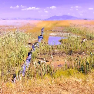
Marsh Observation Area Trailhead
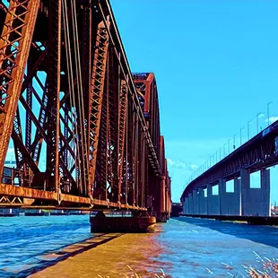
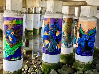
Martinez Bridge
Marsh Observation Area Trailhead
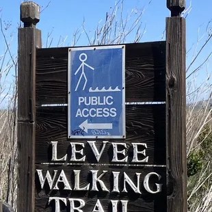
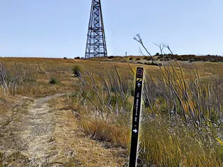
Signage
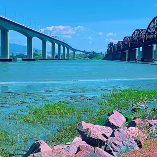
Martinez Bridge
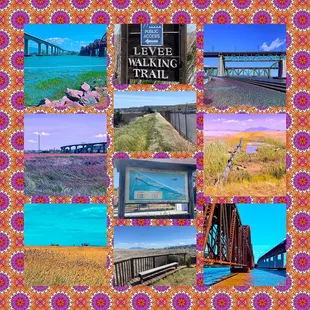
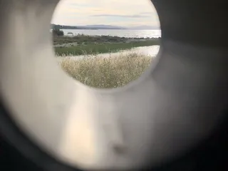
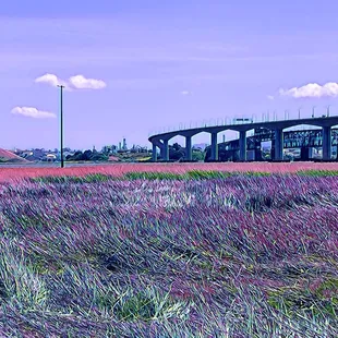
Montage of images from Marsh Observation Area Trailhead
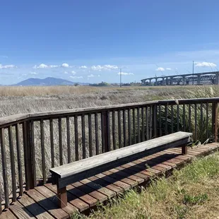
Marsh Observation Area Trailhead
Marsh Observation Area Trailhead
Marsh Observation Area Trailhead
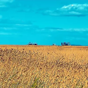
Marsh Observation Area Trail
Map of Marsh Observation Area Trailhead

Ed U.
Aug 18, 2022
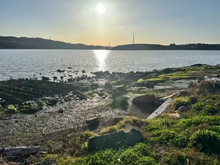
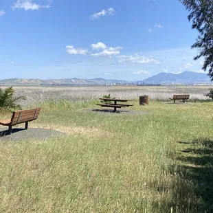
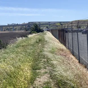
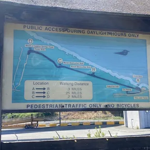
There are at least a couple of different marshland trails along the northern side of the Carquinez Strait. Facing Suisun Bay, this one didn't feel nearly as bucolic as I was hoping, and moreover, it was tricky to get to if you don't know the area well. From I-780 East, you need to get off the unexpected exit that leads you to Fairfield/Sacramento, not the one that directs you onto the Martinez Bridge. Then you take the first exit (Bayshore Road) and make a right into a heavily industrial area.There was a blink-or-you'll-miss-it sign that leads you to a hidden parking area, or you can just keep driving for a while to the public lot on the right. I did the latter and walked along the side of the road where shards of rock made it a bit challenging to traverse. When i finally saw a weathered sign (Levee Walking Trail) and a map, the trail began and continued for just 3/4-miles along a path where on the right side, I saw mostly dried out grassland.However, on the left, there was a huge parking lot of identical trucks. I stopped and turned around when I saw an uninviting cluster of benches and picnic tables. I could see freighters in the distance, so there was evidence of marshes out there. I saw one other person on the trail, and he was trying to manage his pit bulls. I assume there's a lot more reclamation efforts that need to occur to make this a worthwhile hike. One upside was the unique undercarriage view of the Martinez Bridge (photo: https://bit.ly/3A0UIvc). Otherwise I'd take a pass for now.RELATED - Up for a hike? Here's a collection of trails I've walked and reviewed: http://bit.ly/2OrC8nU
Read More