Instagram: @telephonesmoothie
Instagram: @telephonesmoothie
Instagram: @telephonesmoothie
Instagram: @telephonesmoothie
Instagram: @telephonesmoothie
Instagram: @telephonesmoothie
Instagram: @telephonesmoothie
Instagram: @telephonesmoothie
Instagram: @telephonesmoothie
Instagram: @telephonesmoothie
Instagram: @telephonesmoothie
Instagram: @telephonesmoothie
Instagram: @telephonesmoothie
Instagram: @telephonesmoothie
David G.
Apr 23, 2024
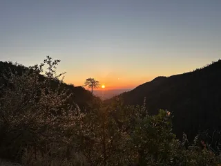
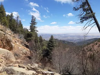
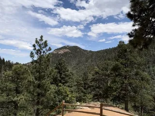
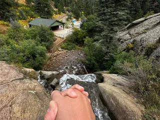
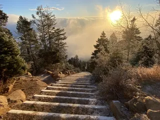
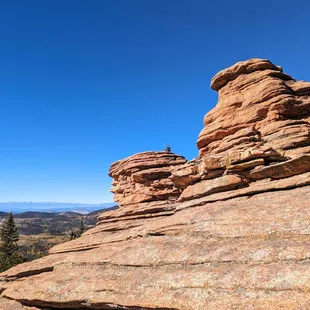
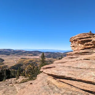
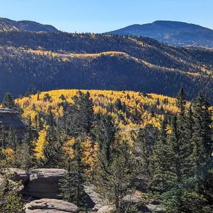
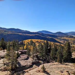
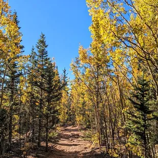
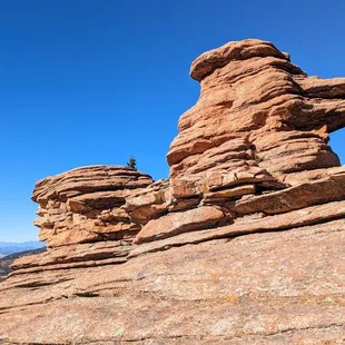
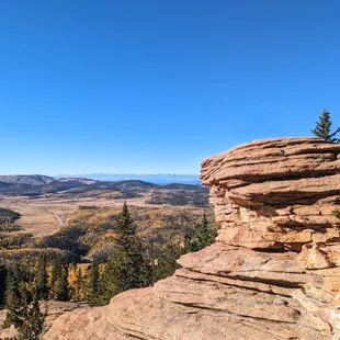
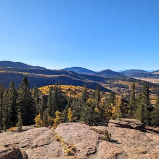
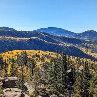
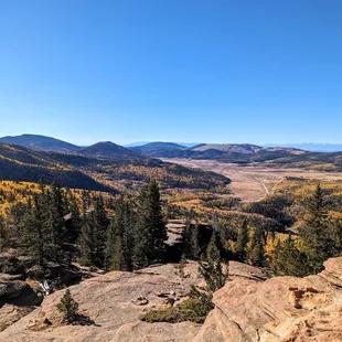
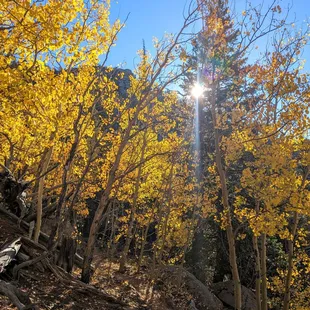
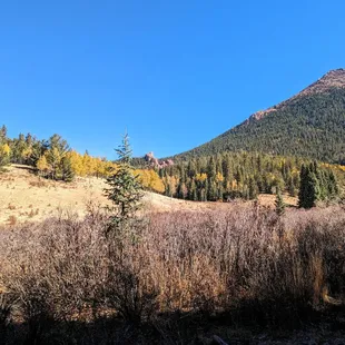
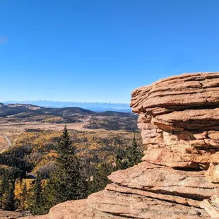
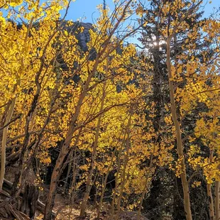
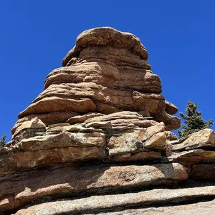
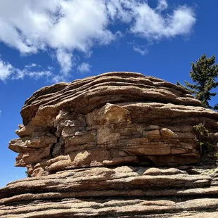
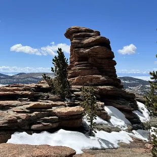
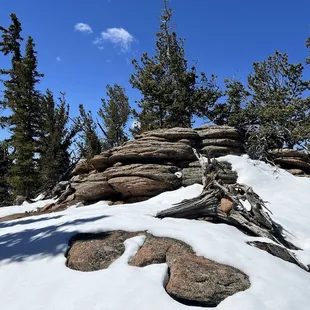
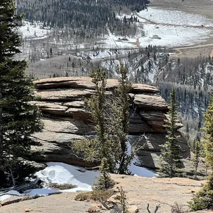
This is a wonderful hike that has several options. I just went to the pancake rocks area which is stunning The trail can be accessed year around but I will tell you hiking in snow makes it definitely more strenuous and challenging Summertime is wonderful as most of the 7 mile round trip has tree coverThe rocks are magical and the views stunning....perfect lunch spot. Views of the city of Victor and its storied gold rush past. https://en.m.wikipedia.org/wiki/Victor,_Colorado
Read More
Isaac A.
Dec 17, 2023
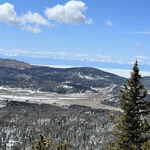
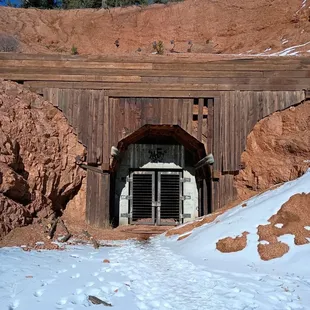
Awesome trail with a lot of elevation change. It was great to see in the winter and the views reach so far. The trail wasn't crowded and the parking lot was large enough for all of us. I recommend starting early, as the summit is maybe 7 miles out and back. The start of the hike has a lot of shade and was notably cooler than the latter portions. It was snow covered when I went and we needed crampons/spikes. There is a boarded up tunnel by the parking lot that was pretty cool.
Read More
Susi H.
Nov 4, 2015
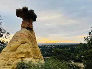
A wonderful yet pretty difficult trail. Pancake rocks starts out as the same trail as Horsethief Falls, but then branches off right after a small lake and veers off to the right to reach the summit and the pancake formations. The trail has a pretty steep incline and in some points it's not well marked. It is over 6 miles to the rocks and back, and it is part of the RING THE PEAK trail system. The trail does not continue past the rock formations, so you must come back down on the same trail.To reach the trailhead drive through Woodland park on HWY 24 West (if you drive from Colorado Springs) and turn left at the traffic light in Divide onto HWY 67 direction Cripple Creek. Drive 9.3 miles until you reach a parking lot on the left hand-side next to an old tunnel.There is nothing up here, so take water and snacks. Sunscreen if you go during the warm hours and a head lamp if you plan to come back down after sunset. The view from the top is pretty spectacular.
Read More